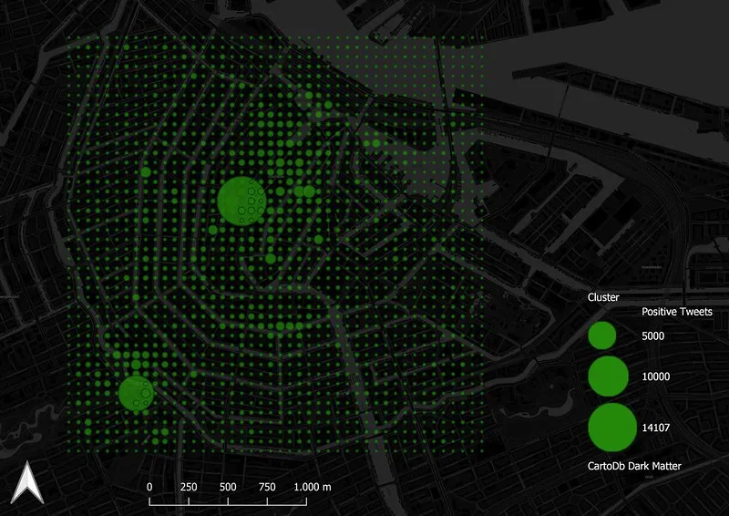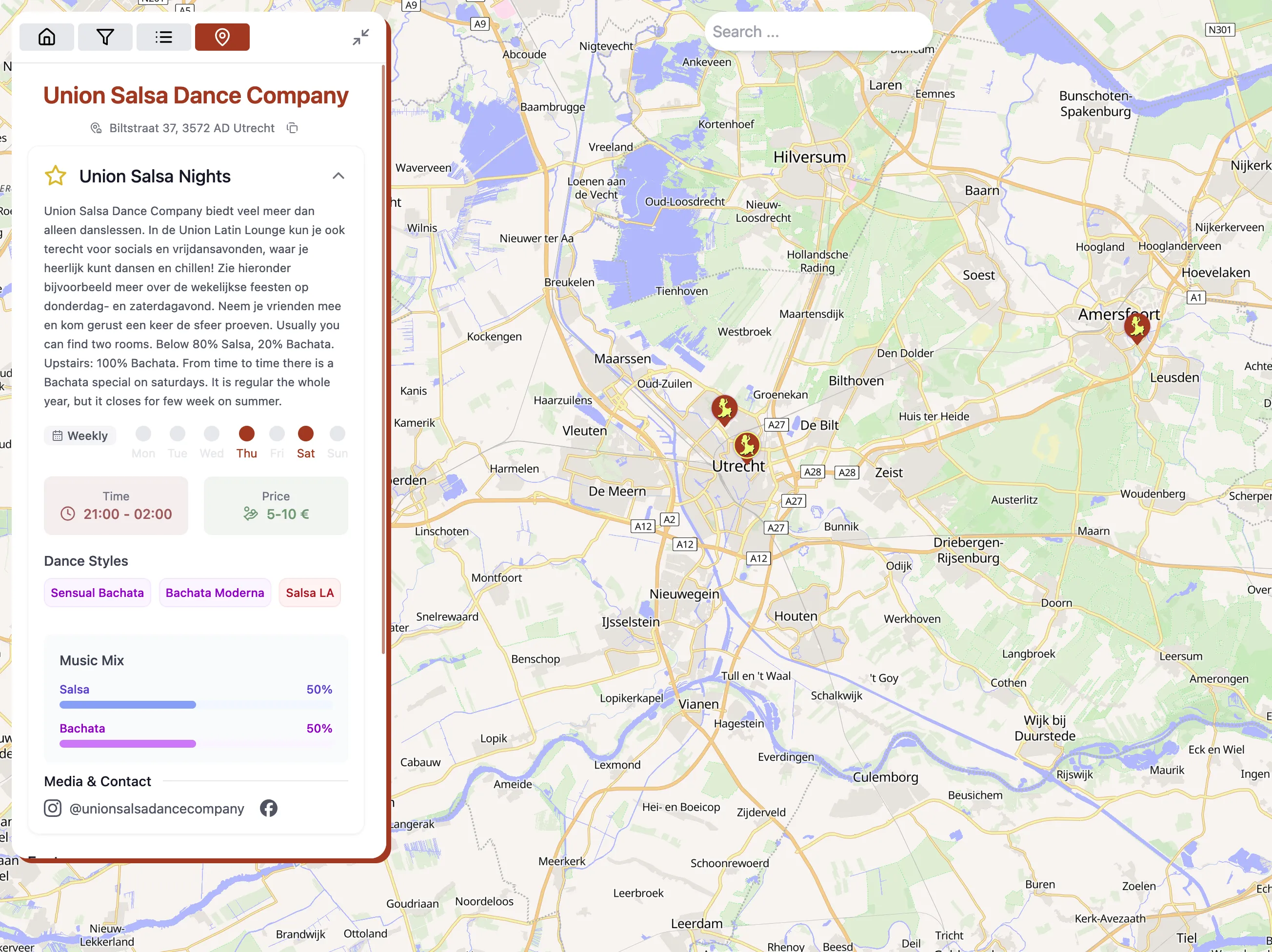
Fullstack application in development that allows users to find and share information about Latin dance socials around the world.
NextJSTypeScriptMapLibreNodeJSExpressPostGIS
In Development
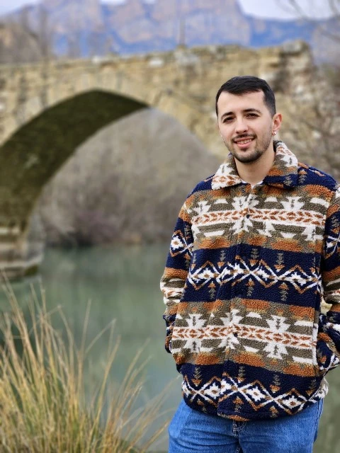
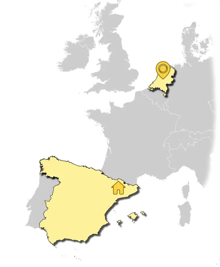
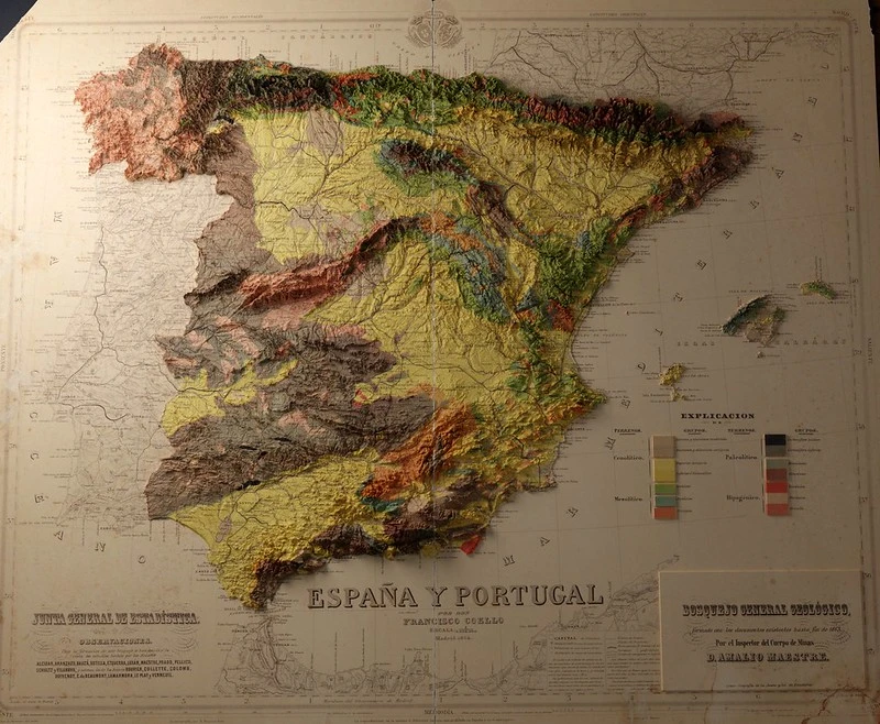
I'm a 28-year-old GIS software developer with a passion for maps, athletics and latin dancing. Originally from Lleida, Spain, I've been calling the Netherlands home for the past four and a half years.
My journey has been shaped by a deep fascination with geographic data and its exciting applications in the digital world. When I'm not immersed in code, you'll find me dancing salsa and bachata, hitting the track for some athletics, capturing moments through photography, or competing enthusiastically in Geoguessr (I'm a bit of a pro!).
Professionally, my journey began with a degree in Geography and Spatial Planning from Universitat de Lleida, Spain, followed by a Master's in Geo-Information Science from Wageningen University & Research in the Netherlands. This academic foundation has propelled me into a specialized role focusing on geospatial software and web development.
I'm passionate about leveraging these skills to innovate and solve complex spatial problems. My approach combines technical expertise with creative problem-solving, always aiming to deliver data-driven solutions and impactful visualizations.
Beyond my professional skills, I bring unique perspectives from my experiences as a former international athlete in 60m and 110m hurdles and as an EASA certified drone pilot-operator. These experiences have honed my discipline, attention to detail, and ability to perform under pressure.
Want to chat about maps, tech, or maybe share some dance moves? Feel free to reach out!
As a Geospatial Software Developer I work in different internal projects related to the geospatial and IT domain.
Intensive 240-hour course conducted by TYC GIS Formación. Throughout the course, the field of Web GIS was extensively explored, providing comprehensive training that ranged from fundamental concepts to the handling of advanced tools and technologies.
Professional Experience
Studies
Fullstack application in development that allows users to find and share information about Latin dance socials around the world.
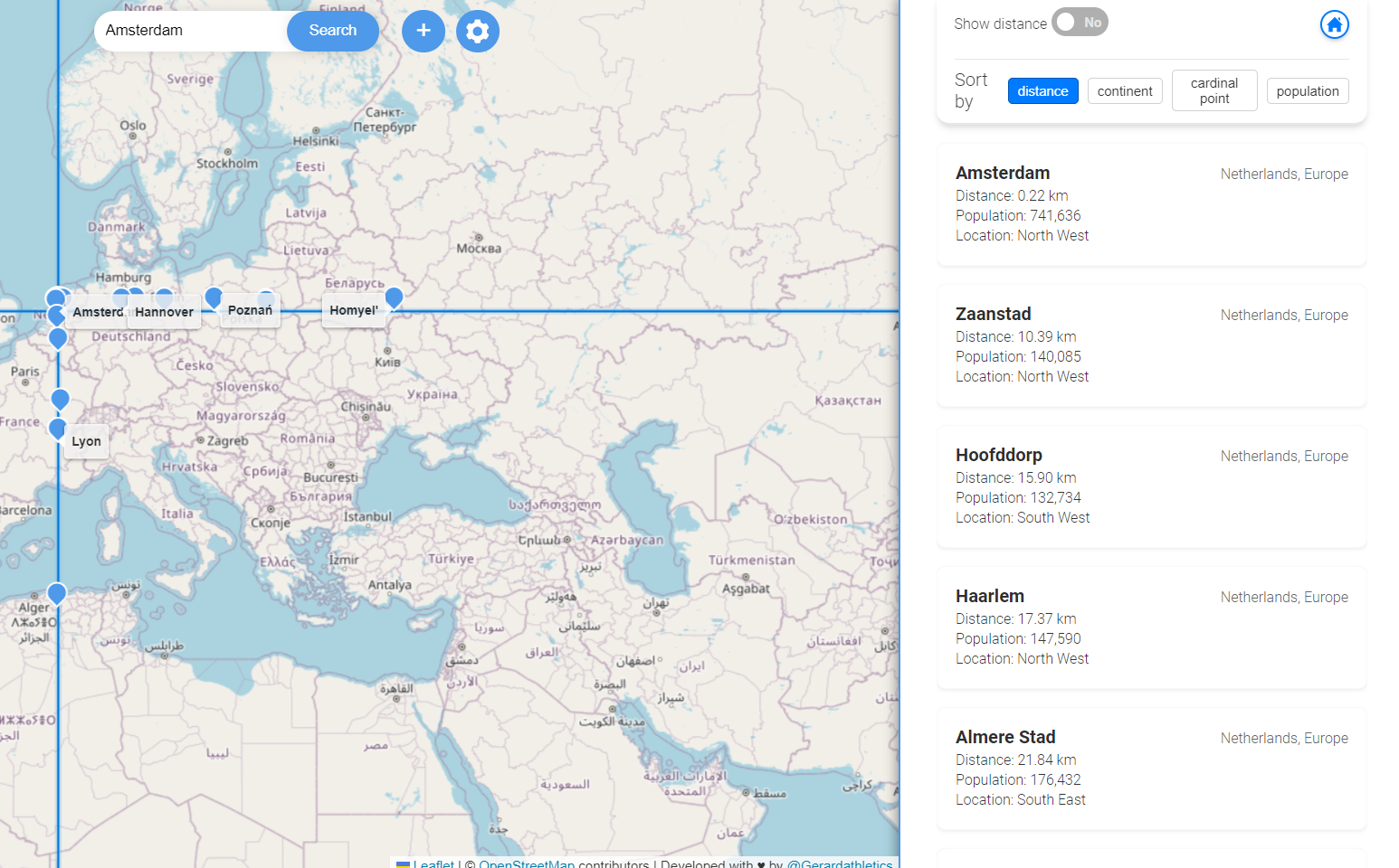
An app that lets the most geo-curious find cities in the same latitude or longitude as a given city or point.
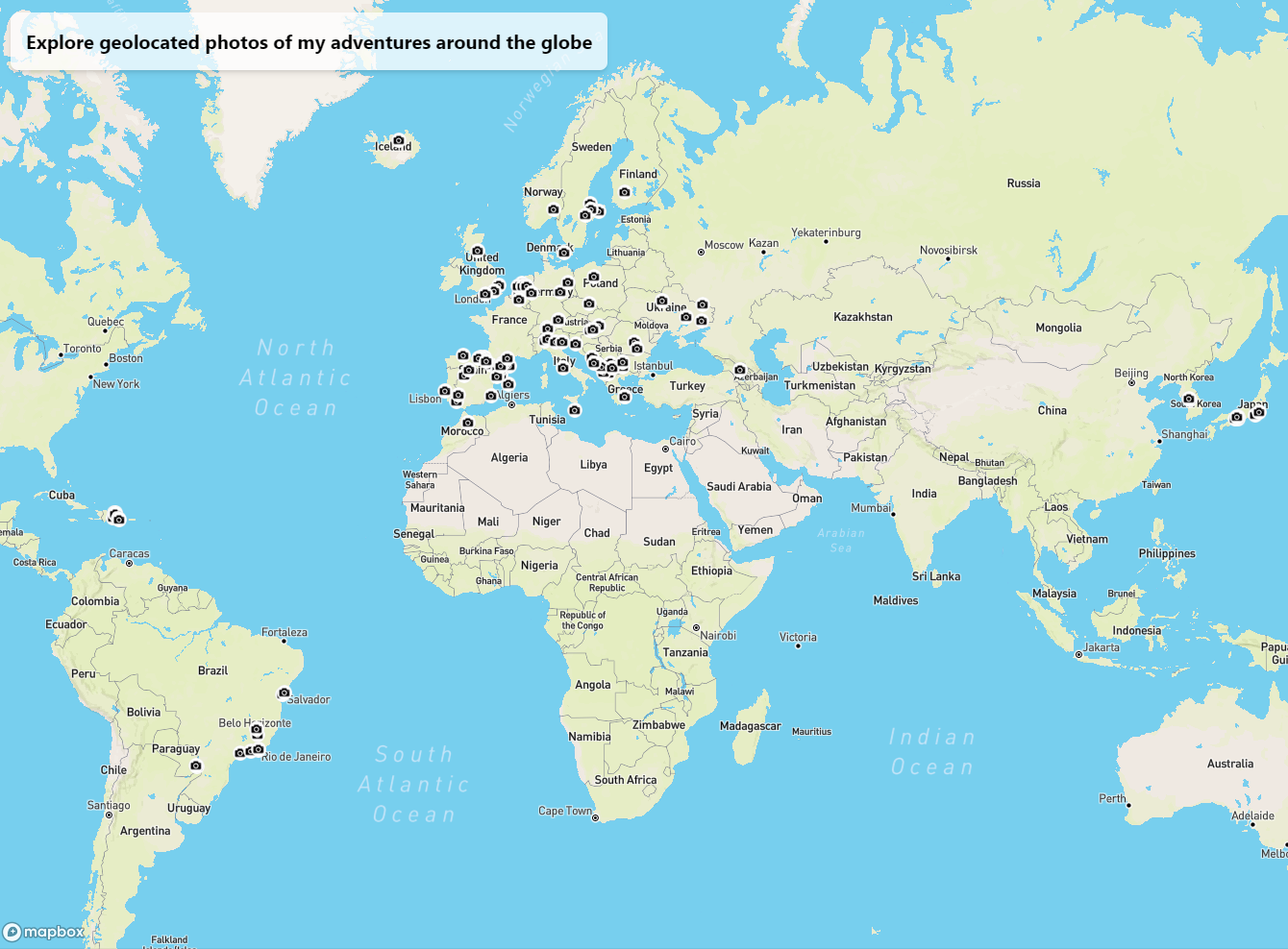
This application shows photos where I appear from different places I've been. It is a personal project that I use as a photo gallery and to practice my skills in web development and GIS.
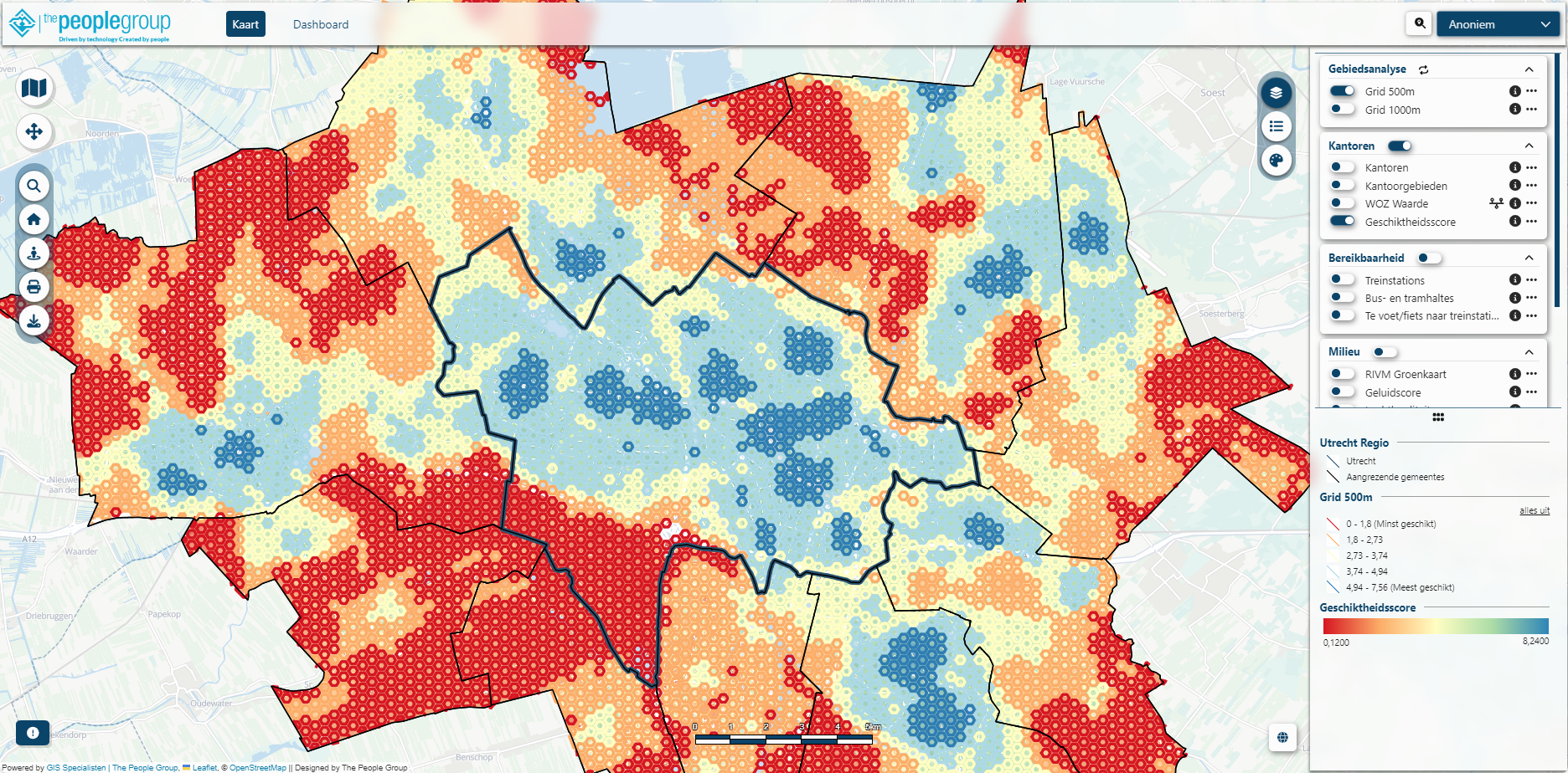
During my time in The People Group I worked in the development and enhancement of this web-gis viewer. The viewer is a modular web-gis application that allows the administrator to customize the viewer to their needs, in a quick and efficient way. Disclaimer: the viewer belongs to The People Group and was developed in team.
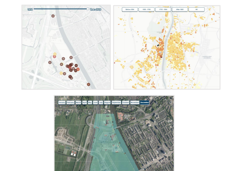
A Web-GIS application that visualizes spatio-temporal data. The application was developed to address the need for a tool to represent the temporal dimension of geo-data in multi-temporal spatial datasets.
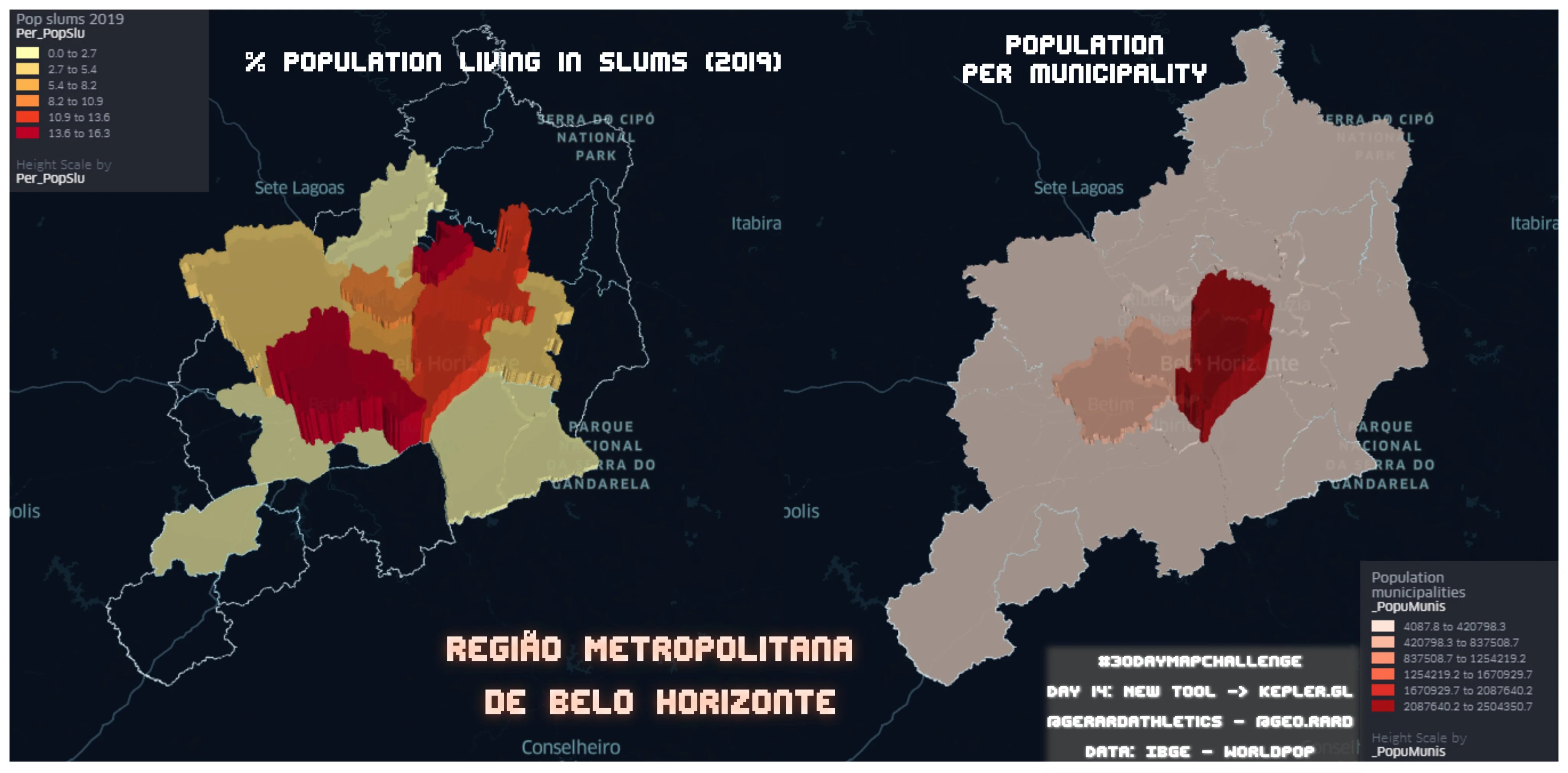
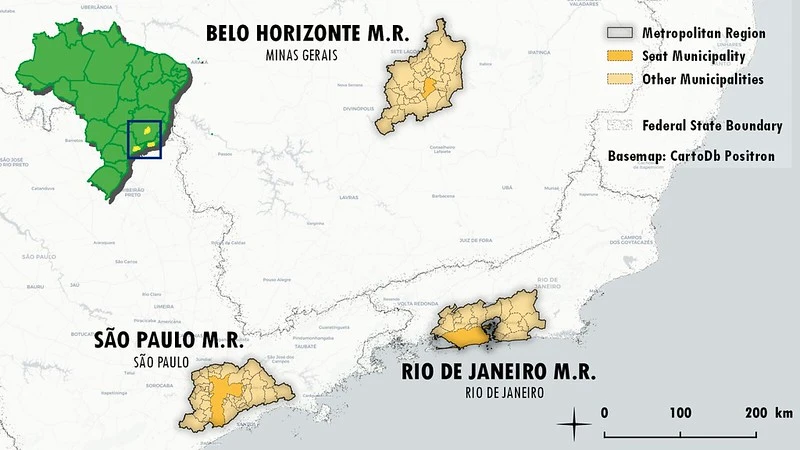
A study that monitors SDG indicators 11.1.1 and 11.3.1 using open data to address the critical issues of fast and uncontrolled urban expansion, slum formation, and their environmental and social impacts in Brazilian metropolitan areas.
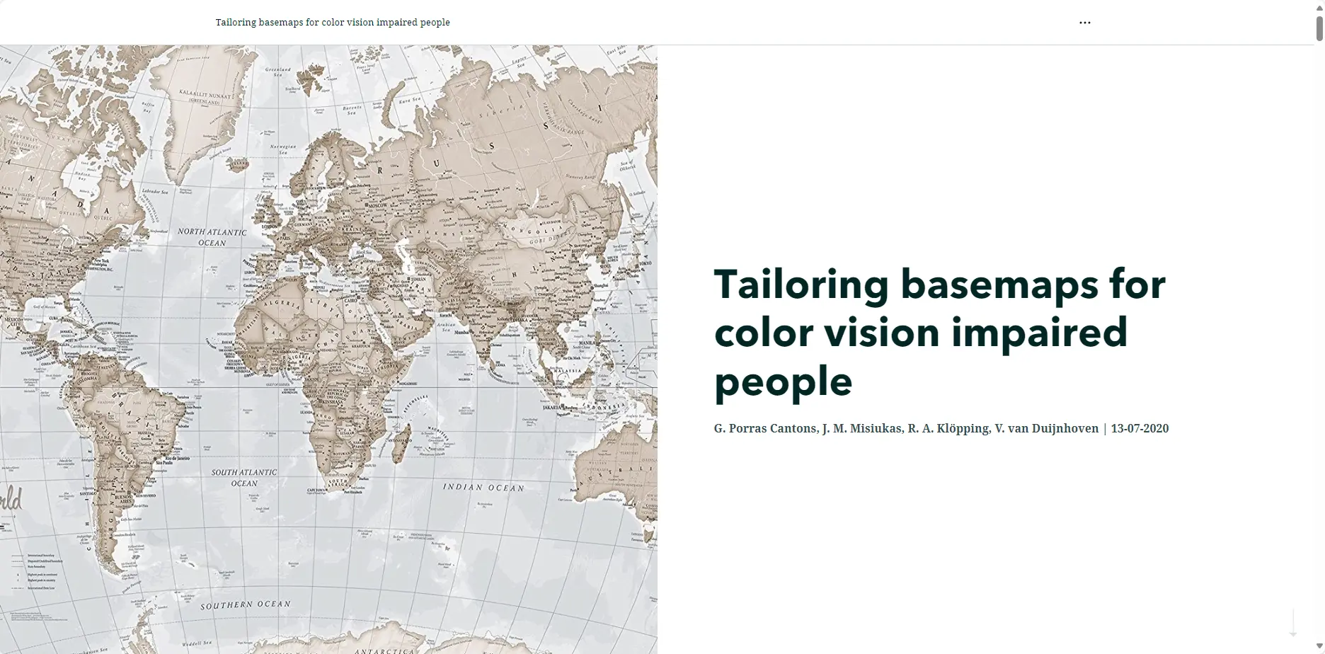
A consultancy group project focused on optimizing basemaps for individuals with color vision impairments. The project aimed to improve basemap accessibility for colorblind people by identifying problematic color combinations and proposing alternative solutions.